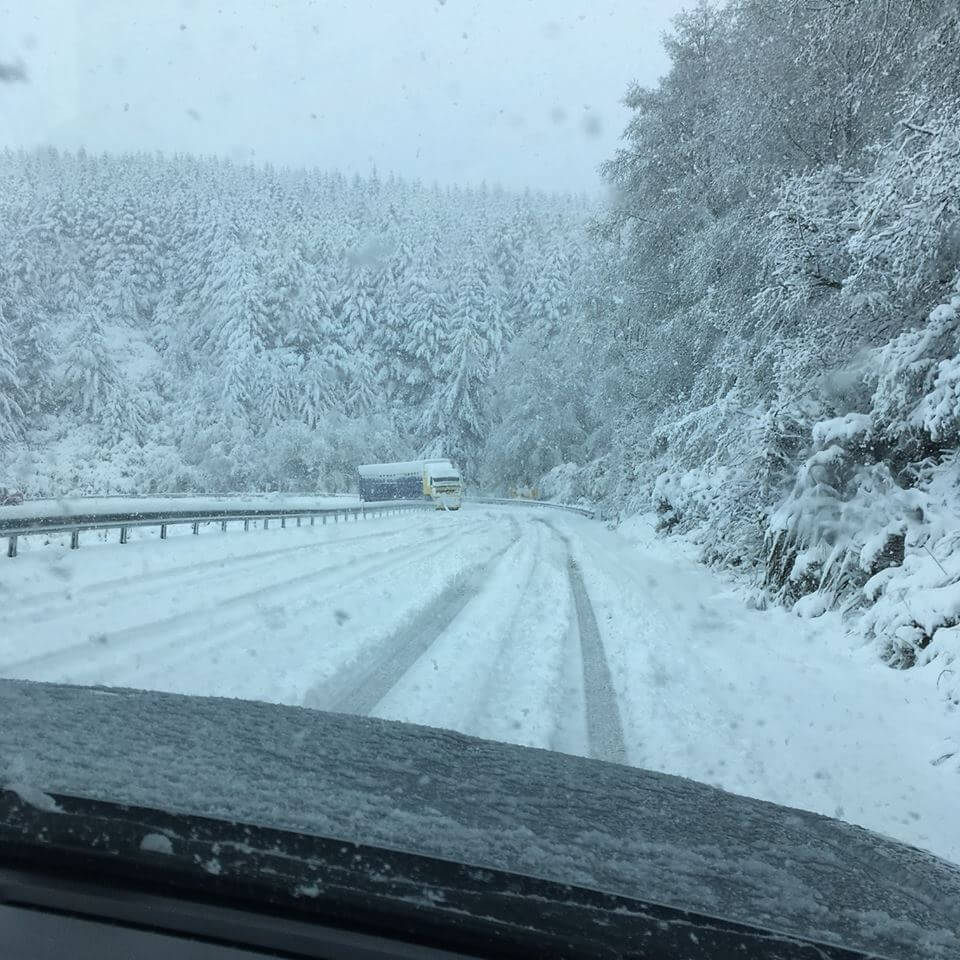
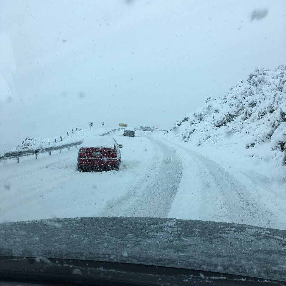
The Blackmount-Redcliff Road was closed due to heavy snow and some vehicles were stuck on the road and has been cleared.
The Lake Monowai turnoff has been blocked off and the road is under traffic management. Southland District Council contractors are clearing the road.

Heavy rain in the west of the South Island and heavy snow possible for inland parts of the lower South Island
A front moves northeast over Fiordland and Southland this morning, then across central and northern South Island this afternoon and evening. The front is preceded by heavy northerly rain in the west, and followed by a cold southerly change, bringing snow for eastern parts of the lower South Island, possibly heavy. The heaviest rain is expected in Fiordland and southern Westland where a Heavy Rain Warning is in force.
This Watch covers the possibility of heavy snow above 600 metres in parts of Fiordland and inland Southland, and above 800 metres across inland areas of Otago and South Canterbury.
People are advised to keep up to date with the latest forecasts in case parts of this Watch are upgraded to a full Warnings or other areas are added.
Heavy Snow Watch
Area: Fiordland and inland Southland
Valid: 5 hours from 11:00am to 4:00pm Wednesday
Forecast: Snow is expected to lower to 300 to 400 metres during late this morning and afternoon. Heavy falls are possible above 600 metres in some areas where snow accumulations may approach warning criteria.

