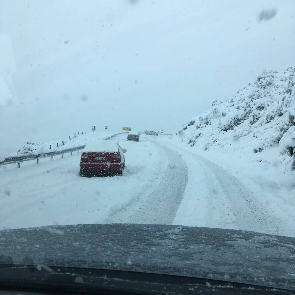
Snow to low levels in many parts of the South Island.
An active front, followed by a very cold southwest change, is forecast to move north across the South Island tonight (Saturday) and Sunday morning bringing snow down to low levels. Heaviest snow is expected above 100 metres in Southland, Clutha and southern Fiordland and a Heavy Snow Warning is in force for these areas. A Watch for Heavy Snow is in places for many other parts of the South Island.
A cold southwest change is expected to move up the South Island tonite (Saturday) & over the North Island on Sunday. This will cause snow levels to lower – right down to sea level in the far south, with Warnings & Watches in effect. Full details: https://t.co/qHyE5zhh6X ^CRN pic.twitter.com/wJ8ZhFnAQn
— MetService (@MetService) August 2, 2019
In addition, a brief period of heavy rain is expected in Westland and a Heavy Rain Watch is place, while westerly gales may become severe in exposed parts of southern Hawkes Bay and northern Wairarapa for a time Sunday morning and a Strong Wind Watch is in place.
Please note, snow is expected to affect many roads and passes causing significant disruption to transport, essential services and may cause stress to livestock. People are advised to stay up to date with the latest forecasts.
A Heavy Snow Warning is in force for Southland, Clutha & southern Fiordland down to 100 metres beginning this evening – this may disrupt travel, damage trees & powerlines and stress livestock. Lesser amounts of snow are expected to sea level. Details: https://t.co/Sd5C6lrsSL ^CRN pic.twitter.com/8V3CsrRAuz
— MetService (@MetService) August 3, 2019
Heavy snow may disrupt travel in affected areas and could damage trees and powerlines. Cold conditions may cause stress for livestock.
Area: Clutha, Southland including Stewart Island and Fiordland south of George Sound
Valid: 39 hours from 6:00pm Saturday to 9:00am Monday
Forecast: Snow is forecast to lower to sea level. Expect 25cm or more of snow to accumulate above 400 metres and 15 to 20cm of snow to accumulate above 100 metres, with even deeper snow expected in drifts. Note, in some places 10cm of snow could accumulate in a 6 hour period.

