A front moves northwards across the South Island West Coast this morning and afternoon and onto Buller this evening, followed shortly afterwards by a more active cold front. These fronts are forecast to bring heavy rain and thunderstorms to the west of the South Island, especially to Fiordland and W
Isolated thunderstorms are expected about inland parts of South Canterbury, North Otago, Dunedin, Central Otago, Clutha and Southland this afternoon and evening (Wednesday). These thunderstorms will be accompanied by localised heavy rain and hail. As the thunderstorms will be slow-moving, there is t
An intense trough is expected to move east over New Zealand late today, bringing strong west to southwesterly gales to the northern parts of the North Island from tonight into Monday morning, and westerly gales about coastal Southland and Clutha including Stewart Island during the same period. Stron
Police in the Southern District are urging drivers to stay off the roads tonight if they can possibly do so. There is a significant amount of black ice in several parts of the District, including Central Otago, Southland and Waitaki. Police have received reports of several crashes this afternoon whe
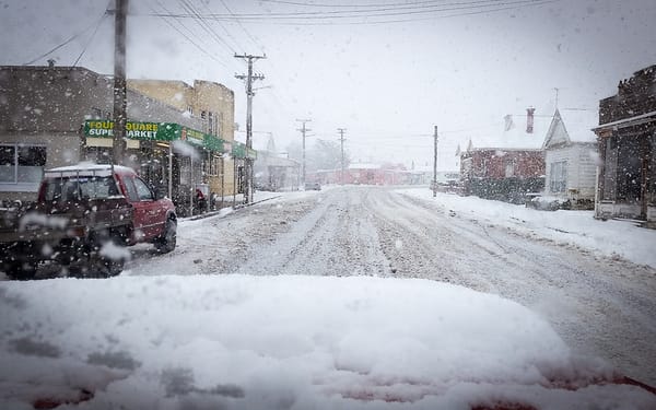
Weather advisory…..It’s going to get ugly folks. Take all necessary precautions. Above all else, keep warm! Mal. SEVERE WEATHER WATCH FOR CENTRAL OTAGO, DUNEDIN, CLUTHA, SOUTHLAND ISSUED BY METSERVICE AT 1814hrs 03-Jul-2017 POSSIBLE HEAVY SNOW FOR INLAND SOUTHLAND AND SOUTHERN OTAGO A cold southwest
HEAVY RAIN FOR FIORDLAND AND WESTLAND HAS EASED. SEVERE SOUTHWEST GALES FOR COASTAL SOUTHLAND, CLUTHA, DUNEDIN, BANKS PENINSULA, THE PORT HILLS OF CHRISTCHURCH AND NELSON WEST OF RIWAKA. A front over the upper South Island moves northeastwards and weakens. A second front moving up the South Island t
HEAVY RAIN FOR FIORDLAND & SEVERE SOUTHWEST GALES FOR COASTAL SOUTHLAND, CLUTHA AND DUNEDIN A front moves over the South Island overnight Monday and early Tuesday morning, bringing a period of heavy northwesterly rain to western areas with possible thunderstorms. The heaviest rain is expected about